- This event has passed.
Where the Water Goes – Chattahoochee, South Georgia
October 17, 2015 @ 10:00 am - October 18, 2015 @ 1:00 pm
Event Navigation
Georgia is graced with water resources that would be the envy of much of the world. The Atlanta metro area hosts a subcontinental divide and watersheds that give rise to two of Georgia’s major rivers, the Ocmulgee and the Flint, as well as a portion of the 430 mile-long Chattachoochee River.
This year’s Eco-A Where the Water Goes series follows the Chattahoochee River from it’s headwaters in the North Georgia Mountains, down through Atlanta and South Georgia and on to Florida, where it becomes the Appalachicola River, creating an extensive estuary that supports one of the most important oyster fisheries in the US before finally emptying into the Gulf of Mexico.
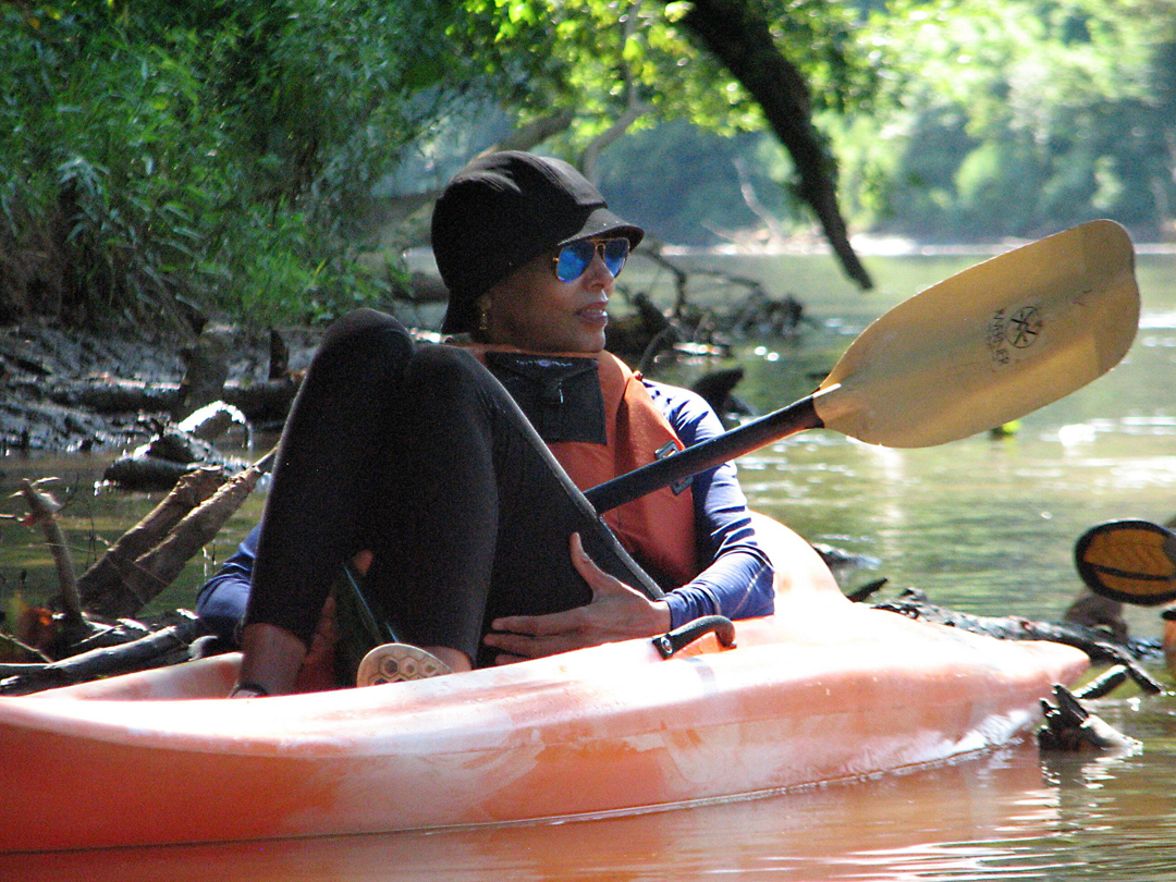
Trip 4 – Oct 17 – Chattahoochee, South Georgia
This trip will begin in the morning of Oct 17 near Ft Gaines, Georgia. We’ll travel by kayak most of the day, stopping for lunch and breaks along the way. We’ll be below the “fall line” so we’ll be paddling mostly on flat water. The River here travels through rural areas of forested banks and farmlands. The feel of the South Georgia environment is quite different from Atlanta and the Piedmont – the horizon opens up and you can tell you’re heading for the tropics.